Google maps adds COVID-19 layer to display number of cases
- Google Maps already features pandemic-related tools
- Public transit crowdedness predictions is one such feature
- The COVID-19 layer is rolling out this week worldwide
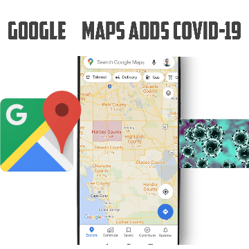
Google is introducing a feature for its Maps platform on mobile phones that will provide essential information about COVID-19, which has now become a regular part of daily lives, at least of the people travelling and commuting. The new layer will give provide essential information about the rate of infections
Data featured in the Covid layer comes from multiple authoritative sources, including Johns Hopkins, the New York Times, and Wikipedia who, in turn, get data from public health organisations like the World Health Organisation, government health ministries, along with state and local health agencies and hospitals.
When you open Google Maps, tap on the layers button on the top right hand corner of the screen and click on “Covid-19 info”.
More than one billion people turn to Google Maps for essential information about how to get from place to place – especially during the pandemic when safety concerns are top of mind.
“Features like popular times and live busyness, Covid-19 alerts in transit, and Covid checkpoints in driving navigation were all designed to help you stay safe when you’re out and about,” Sujoy Banerjee Product Manager, Google Maps, said in a statement on Wednesday.
Internet links
Other links
1 Deltases
